Google Maps™ Driving Directions (Home) » Glossary » Africa Maps » Page 15

St Helena

Driving Directions St Helena

ST HELENA is a volcanic island in the south Atlantic Ocean. It is a British overseas territory and an adminis­trative center for the islands of Tristan da Cunha to the south and Ascension Island to the north. The main exports are fish, timber, and handicrafts.

Read more

Google Maps™ Driving Directions (Home) » Glossary » Africa Maps » Page 15

Sudan

Driving Directions Sudan

SUDAN is the largest country in Africa, lying just south of the Tropic of Cancer in northeast Africa. The Republic of Sudan divides naturally into three central regions: the desert in the north, dry grasslands and steppe in the center, and marshland, giving way to tropical forest and mountains in the south. Cutting through the country and forming a fourth significant and life-sustaining feature is the great river system of the Nile.

Read more

Google Maps™ Driving Directions (Home) » Glossary » Africa Maps » Page 15

Sudan Google Maps

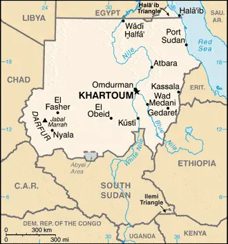
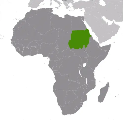
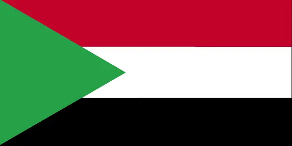
This image shows the draft map of Sudan, Africa. For more details of the map of Sudan, please see this page below. This image shows the location of Sudan, Africa. For more geographical details of Sudan, please see this page below. This image shows the flag of Sudan, Africa. For more details of the flag of Sudan, please see this page below.
Borderline map of Sudan Location map of Sudan Flag of Sudan

Sudan Google Maps

Google Maps and Detailed Facts of Sudan (SD). This page lets you explore Sudan and its border countries (Country Location: north-eastern Africa, bordering the Red Sea, between Egypt and Eritrea) through detailed Satellite imagery – fast and easy as never before Google Maps.

Find comprehensive information about this country’s diversity below: Google Maps, geography, economy, science, people, culture, environment, government, and history – All in One Wiki page.

There is also a Street View and free Driving Directions at your service. Your Google Satellite Map Sightseeing in Sudan, in Africa, starts here at Driving Directions and Maps.com.

Read more

Google Maps™ Driving Directions (Home) » Glossary » Africa Maps » Page 15

Swaziland

Driving Directions Swaziland

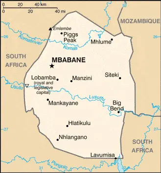
SWAZILAND is a landlocked hilly country almost entirely within the Republic of South Africa’s borders but with a short border in the east with Mozambique. The mountains in the west of the country rise to almost 2,000 meters or 6,562 feet, then descend in savanna steps toward the hilly country in the east.

Read more

Google Maps™ Driving Directions (Home) » Glossary » Africa Maps » Page 15

Swaziland Google Maps

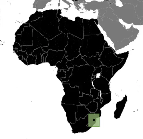
This image shows the draft map of Swaziland, Africa. For more details of the map of Swaziland, please see this page below. This image shows the location of Swaziland, Africa. For more geographical details of Swaziland, please see this page below. This image shows the flag of Swaziland, Africa. For more details of the flag of Swaziland, please see this page below.
Borderline map of Swaziland Location map of Swaziland Flag of Swaziland

Swaziland Google Maps

Google Maps and Detailed Facts of Swaziland (SZ). This page lets you explore Swaziland and its border countries (Country Location: Southern Africa, between Mozambique and South Africa) through detailed Satellite imagery – fast and easy as never before Google Maps.

Find comprehensive information about this country’s diversity below: Google Maps, geography, economy, science, people, culture, environment, government, and history – All in One Wiki page.

There is also a Street View and free Driving Directions at your service. Your Google Satellite Map Sightseeing in Swaziland, in Africa, starts here at Driving Directions and Maps.com.

Read more
Google Maps™ Driving Directions (Home) » Glossary » Africa Maps » Page 15

Tanzania

Driving Directions Tanzania

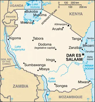
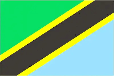
TANZANIA, a republic on the east coast of central southern Africa, comprises a large mainland area and Pemba and Zanzibar’s islands. Tanzania lies east of the Democratic Republic of Congo and Zambia, south of Kenya, and north of Mozambique, with the Indian Ocean in the east.

Read more

Google Maps™ Driving Directions (Home) » Glossary » Africa Maps » Page 15

Tanzania Google Maps

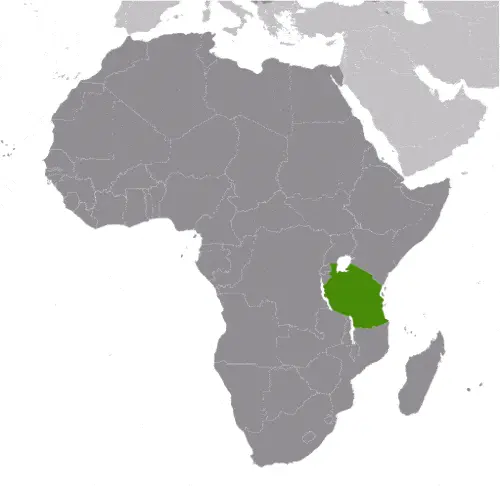
This image shows the draft map of Tanzania, Africa. For more details of the map of Tanzania, please see this page below. This image shows the location of Tanzania, Africa. For more geographical details of Tanzania, please see this page below. This image shows the flag of Tanzania, Africa. For more details of the flag of Tanzania, please see this page below.
Borderline map of Tanzania Location map of Tanzania Flag of Tanzania

Tanzania Google Maps

Google Maps and Detailed Facts of Tanzania (TZ). This page lets you explore Tanzania and its border countries (Country Location: Eastern Africa, bordering the Indian Ocean, between Kenya and Mozambique) through detailed Satellite imagery – fast and easy as never before Google Maps.

Find comprehensive information about this country’s diversity below: Google Maps, geography, economy, science, people, culture, environment, government, and history – All in One Wiki page.

There is also a Street View and free Driving Directions at your service. Your Google Satellite Map Sightseeing in Tanzania, in Africa, starts here at Driving Directions and Maps.com.

Read more
Google Maps™ Driving Directions (Home) » Glossary » Africa Maps » Page 15

The Democratic Republic of Congo

Driving Directions Congo

THE DEMOCRATIC REPUBLIC OF CONGO (DRC), formerly Zaire, is situated in west-central Africa. It is a vast country with a short coastline of only 40 kilometers or 25 miles on the Atlantic Ocean. There is a constant arable variety in the country’s geography, from the rainforests on the western border to the huge central plain and mountains in the northeast, east, and south. However, the Congo (Zaire) river basin dominates the land and reaches from the country’s center to mountains or plateaux on all sides. In the east, the Ruwenzori Mountains overlook the lakes in the Great Rift Valley.

Read more

Google Maps™ Driving Directions (Home) » Glossary » Africa Maps » Page 15

The Gambia Google Maps

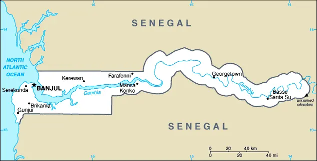
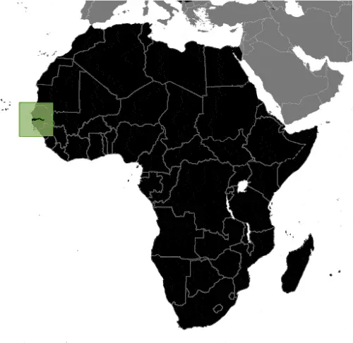
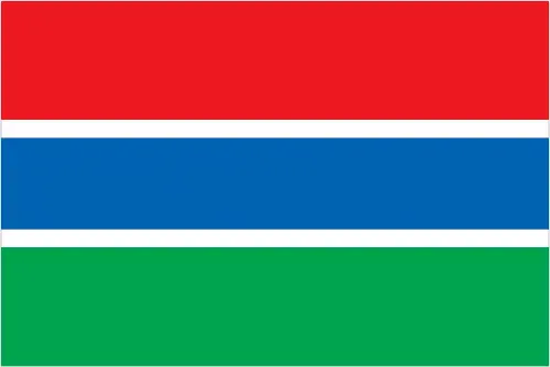
This image shows the draft map of the Gambia, Africa. For more details of the map of the Gambia, please see this page below. This image shows the location of the Gambia, Africa. For more geographical details of the Gambia, please see this page below. This image shows the flag of the Gambia, Africa. For more details of the flag of the Gambia, please see this page below.
Borderline map of Gambia Location map of the Gambia Flag of the Gambia

Gambia Google Maps

Google Maps and Detailed Facts of the Gambia (GM). This page lets you explore the Gambia and its border countries (Country Location: Western Africa, bordering the North Atlantic Ocean and Senegal) through detailed Satellite imagery – fast and easy as never before Google Maps.

Find comprehensive information about this country’s diversity below: Google Maps, geography, economy, science, people, culture, environment, government, and history – All in One Wiki page.

There is also a Street View and free Driving Directions at your service. Your Google Satellite Map Sightseeing in the Gambia, in Africa, starts here at Driving Directions and Maps.com.

Read more
Google Maps™ Driving Directions (Home) » Glossary » Africa Maps » Page 15

Togo

Driving Directions Togo

TOGO is a tiny republic with a narrow coastal plain on the Gulf of Guinea in West Africa. It is a thin “fingerlike” country, pushing inland and north­wards from the Gulf of Guinea and sandwiched between Ghana and Benin.

Read more