Google Maps™ driving directions home » Central America and the Caribbean maps

Dominica Google Map

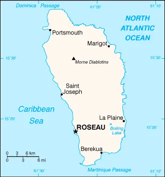
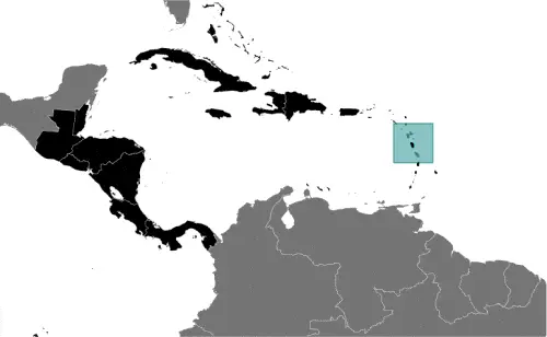
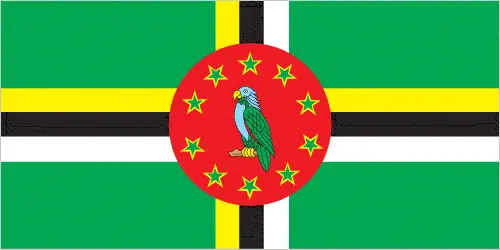
This image shows the draft map of Dominica, Central America, and the Caribbean. For more details of the map of Dominica, please see this page below. This image shows the location of Dominica, Central America, and the Caribbean. For more geographical details of Dominica, please see this page below. This image shows the flag of Dominica, Central America, and the Caribbean. For more details of the flag of Dominica, please see this page below.
Borderline map of Dominica Location map of Dominica Flag of Dominica

Dominica Google map

Google Maps and Detailed Facts of Dominica (DM). This page lets you explore Dominica and its border countries (Country Location: the Caribbean, island between the Caribbean Sea and the North Atlantic Ocean, about halfway between Puerto Rico and Trinidad and Tobago) through detailed Satellite imagery – fast and easy as never before Google Maps.

Find comprehensive information about this country’s diversity below: Google maps, geography, economy, science, people, culture, environment, government, and history – All in One Wiki page.

There is also a Street View and free Driving Directions at your service. Your Google Satellite Map Sightseeing in Dominica, in Central America, and the Caribbean, starts here at Driving Directions and Maps.com.

Read more

Google Maps™ driving directions home » Central America and the Caribbean maps

Dominican Republic

Driving Directions Dominican Republic

The DOMINICAN REPUBLIC forms the eastern portion of the island of Hispaniola in the West Indies. It covers two-thirds of the island, the small­er portion consisting of Haiti. The climate is semitropical and occasional hurricanes cause great destruction. The west of the country comprises four almost parallel mountain ranges, and between the two most northerly is the fertile Cibao Valley. The southeast is made up of fertile plains.

Read more

Google Maps™ driving directions home » Central America and the Caribbean maps

Dominican Republic Google Map

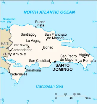
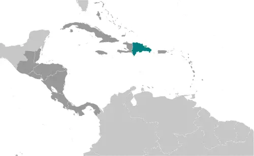
This image shows the draft map of Dominican Republic, Central America, and the Caribbean. For more details of the map of Dominican Republic, please see this page below. This image shows the location of Dominican Republic, Central America, and the Caribbean. For more geographical details of Dominican Republic, please see this page below. This image shows the flag of Dominican Republic, Central America, and the Caribbean. For more details of the flag of Dominican Republic, please see this page below.
Borderline map of Dominican Republic Location map of Dominican Republic Flag of Dominican Republic

Dominican Republic Google map

Google Maps and Detailed Facts of Dominican Republic (DO). This page lets you explore the Dominican Republic and its border countries (Country Location: the Caribbean, eastern two-thirds of the island of Hispaniola, between the Caribbean Sea and the North Atlantic Ocean, east of Haiti) through detailed Satellite imagery – fast and easy as never before Google Maps.

Find comprehensive information about this country’s diversity below: Google maps, geography, economy, science, people, culture, environment, government, and history – All in One Wiki page.

There is also a Street View and free Driving Directions at your service. Your Google Satellite Map Sightseeing in the Dominican Republic, Central America, and the Caribbean starts here at Driving Directions and Maps.com.
Read more

Google Maps™ driving directions home » Central America and the Caribbean maps

El Salvador

Driving Directions El Salvador

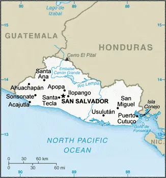
EL SALVADOR is the smallest and most densely populated state in Central America. It is bounded to the north and west by Guatemala, north and east by Honduras, and the south by the Pacific Ocean. A range of volcanic peaks behind the narrow coastal plain overlooks a densely populated inland plateau. Further inland, the land rises to the interior highlands. The Lempa river cuts through the center of the country and opens to the south as a large sandy delta to the Pacific Ocean.

Read more

Google Maps™ driving directions home » Central America and the Caribbean maps

El Salvador Google Map

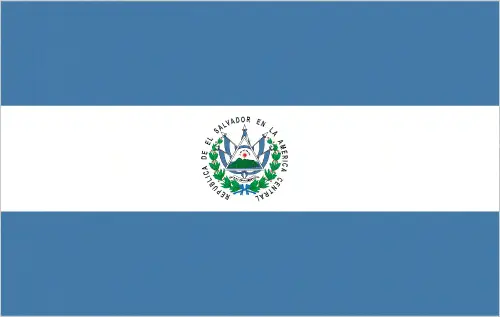
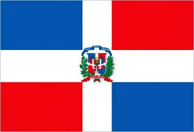
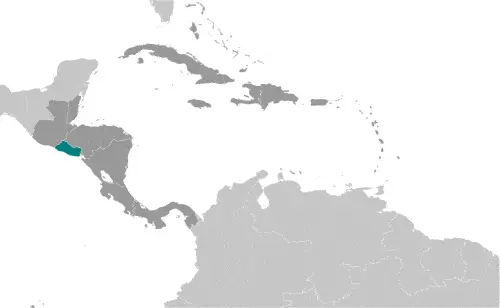
This image shows the draft map of El Salvador, Central America, and the Caribbean. For more details of the map of El Salvador, please see this page below. This image shows the location of El Salvador, Central America, and the Caribbean. For more geographical details of El Salvador, please see this page below. This image shows the flag of El Salvador, Central America, and the Caribbean. For more details of the flag of El Salvador, please see this page below.
Borderline map of El Salvador Location map of El Salvador Flag of El Salvador

El Salvador Google map

Google Maps and Detailed Facts of El Salvador (SV). This page lets you explore El Salvador and its border countries (Country Location: Central America, bordering the North Pacific Ocean, Guatemala, and Honduras) through detailed Satellite imagery – fast and easy as never before Google Maps.

Find comprehensive information about this country’s diversity below: Google maps, geography, economy, science, people, culture, environment, government, and history – All in One Wiki page.

There is also a Street View and free Driving Directions at your service. Your Google Satellite Map Sightseeing in El Salvador, in Central America, and the Caribbean, starts here at Driving Directions and Maps.com.
Read more

Google Maps™ driving directions home » Central America and the Caribbean maps

Grenada

Driving Directions Grenada

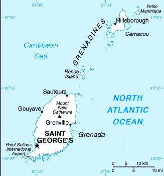
GRENADA is the most southerly of the Windward Islands chain in the Caribbean, and its highest peak at 838 meters or 2,750 feet is Mount St Catherine. Its territory includes the southern Grenadine Islands to the north.

Read more

Google Maps™ driving directions home » Central America and the Caribbean maps

Grenada Google Map

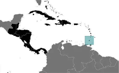
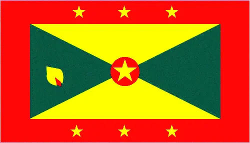
This image shows the draft map of Grenada, Central America, and the Caribbean. For more details of the map of Grenada, please see this page below. This image shows the location of Grenada, Central America, and the Caribbean. For more geographical details of Grenada, please see this page below. This image shows the flag of Grenada, Central America, and the Caribbean. For more details of the flag of Grenada, please see this page below.
Borderline map of Grenada Location map of Grenada Flag of Grenada

Grenada Google map

Google Maps and Detailed Facts of Grenada (GD). This page lets you explore Grenada and its border countries (Country Location: the Caribbean, island between the Caribbean Sea and the Atlantic Ocean, north of Trinidad and Tobago) through detailed Satellite imagery – fast and easy as never before Google Maps.

Find comprehensive information about this country’s diversity below: Google maps, geography, economy, science, people, culture, environment, government, and history – All in One Wiki page.

There is also a Street View and free Driving Directions at your service. Your Google Satellite Map Sightseeing in Grenada, in Central America, and the Caribbean, starts here at Driving Directions and Maps.com.
Read more

Google Maps™ driving directions home » Central America and the Caribbean maps

Guadeloupe

Driving Directions Guadeloupe

GUADELOUPE consists of a small group of islands in the Caribbean lying in the middle of the Lesser Antilles islands, with some islands in the Leeward Islands and some in the Windward Islands.

Read more

Google Maps™ driving directions home » Central America and the Caribbean maps

Guatemala

Driving Directions Guatemala

GUATEMALA is situated between the Pacific Ocean and the Caribbean Sea, where North America meets Central America. It is a mountainous country with a ridge of volcanoes running parallel to the Pacific coast.

Three of the volcanoes are still active, and the country is also subject to earthquakes. In the northwest, there is a large, low-lying forested area called El Peten, which is located many archaeological remains of the Maya civilization.

Read more

Google Maps™ driving directions home » Central America and the Caribbean maps

Guatemala Google Map

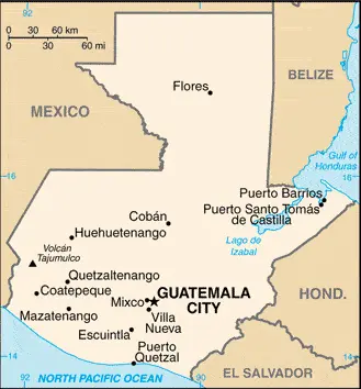
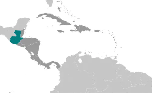
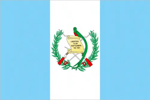
This image shows the draft map of Guatemala, Central America, and the Caribbean. For more details of the map of Guatemala, please see this page below. This image shows the location of Guatemala, Central America, and the Caribbean. For more geographical details of Guatemala, please see this page below. This image shows the flag of Guatemala, Central America, and the Caribbean. For more details of the flag of Guatemala, please see this page below.
Borderline map of Guatemala Location map of Guatemala Flag of Guatemala

Guatemala Google map

Google Maps and Detailed Facts of Guatemala (GT). This page lets you explore Guatemala and its border countries (Country Location: Central America, bordering the North Pacific Ocean, between El Salvador and Mexico, and connecting the Gulf of Honduras (Caribbean Sea) between Honduras and Belize) through detailed Satellite imagery – fast and easy as never before Google Maps.

Find comprehensive information about this country’s diversity below: Google maps, geography, economy, science, people, culture, environment, government, and history – All in One Wiki page.

There is also a Street View and free Driving Directions at your service. Your Google Satellite Map Sightseeing in Guatemala, in Central America, and the Caribbean, starts here at Driving Directions and Maps.com.
Read more