Google Maps™ Driving Directions (Home) » Glossary » Germany

Germany

Driving Directions Germany

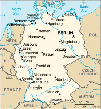
GERMANY is a large populous country in northern central Europe, which comprises the former East and West German Republics, reunified in 1990. In the north lies the North German Plain, which merges with the North Rhineland in the west. Further south, a plateau that stretches across the country from east to west is divided by the River Rhine. In the southwest, the Black Forest Mountains, or Schwarzwald, separate the Rhine Valley from Swabia’s fertile valleys and scarp lands. The Bavarian Forest is in the southeast, approaching the border with the Czech Republic. The Bohemian Uplands and Erz Mountains mark the bor­der with the Czech Republic. The beautiful River Danube, the second-longest river in Europe, rises in the Bavarian Alps and crosses most southern Germany.

However, Germany’s most famous river is the mighty Rhine, which flows along the border with Switzerland and France before heading northwards towards the Netherlands and the North Sea.

The Rhine has several large and important tributaries, including the Neckar, Main, Lahn, Mosel, Ruhr, and Lippe, and is a major navigable waterway used to transport considerable amounts of freight. Because of heavy industrial development along much of the Rhine valley’s length, there are considerable problems with water pollution. Efforts continue to make, however, to address this situation and to improve water quality.

Read more

Google Maps™ Driving Directions (Home) » Glossary » Germany

Berlin Google Maps

Berlin is one of the most populated cities in Germany, and at the same time, this city is the capital of this country. Located in Europe, you may find the city easily with the following GPS coordinates: 52.30N latitude / 13.25E longitude. For routing in Berlin, please check the free driving directions Berlin service below.

Read more

Google Maps™ Driving Directions (Home) » Glossary » Germany

The most Googled products in each country in Europe

Just like earlier, today, in our popular culture, most countries are stereotypically associated with certain products or services. Probably you also would think of Germany regarding beer or Mercedes, carpets of Turkey, electronics of Japan, or pizza of Italy.

Read more

Google Maps™ Driving Directions (Home) » Glossary » Germany

Germany Google Maps

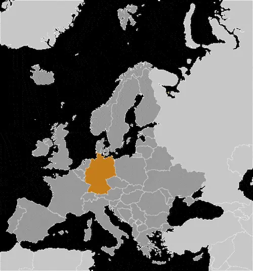
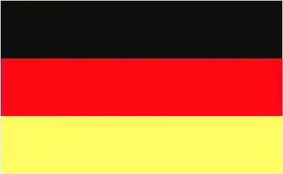
This image shows the draft map of Germany, Europe. For more details of the map of Germany, please see this page below. This image shows the location of Germany, Europe. For more geographical details of Germany, please see this page below. This image shows the flag of Germany, Europe. For more details of the flag of Germany, please see this page below.
Borderline map of Germany Location map of Germany Flag of Germany

Germany Google Maps

Google Maps and Detailed Facts of Germany (DE). This page lets you explore Germany and its border countries (Country Location: Central Europe, bordering the Baltic Sea and the North Sea, between the Netherlands and Poland, south of Denmark) through detailed Satellite imagery – fast and easy as never before Google Maps.

Find comprehensive information about this country’s diversity below: Google Maps, geography, economy, science, people, culture, environment, government, and history – All in One Wiki page.

There is also a Street View and free Driving Directions at your service. Your Google Satellite Map Sightseeing in Germany, in Europe, starts here at Driving Directions and Maps.com.

Read more