Driving Directions Luxembourg
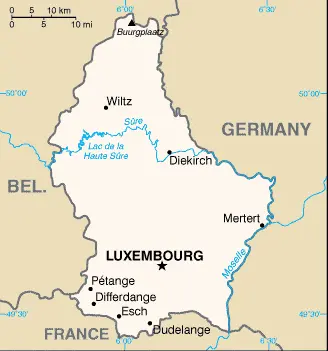
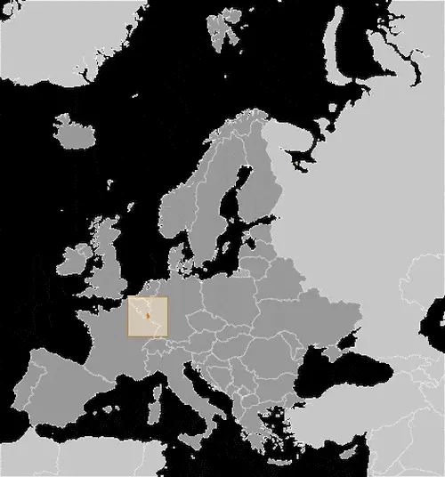
LUXEMBOURG is entirely landlocked, bounded by France in the south, Belgium in the west, and Germany. The northern part of the country is a wooded plateau, known as the Oesling, rising to 550 meters or 1,804 feet.
This region is a continuation of the Ardennes Plateau’s forested hills, where Luxembourg’s highest peak, Buurgplatz (559 meters or 1,835 feet), is situated.


