Google Maps™ Driving Directions (Home) » Glossary » Sao Tome and Principe

São Tomé and Príncipe

Driving Directions São Tomé and Príncipe

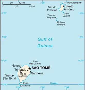
SÁO TOMÉ AND PRÍNCIPE are volcanic islands that lie off the west coast of Africa. The islands were colonized in the 15th century by the Portuguese, who developed a slave trade, grew sugar cane, and set­tled convicts and other exiles on the islands.

São Tomé is covered in extinct volcanic cones reaching heights of 2,024 meters or 6,641 feet. The coastal areas are hot and humid. Príncipe is a craggy island lying to the northeast of Sáo Tomé.

Read more

Google Maps™ Driving Directions (Home) » Glossary » Sao Tome and Principe

Sáo Tomé Google Maps

São Tomé is one of the most populated cities in São Tomé and Príncipe, and at the same time, this city is the capital of this country. Located in Africa, you may find the city easily with the following GPS coordinates: 00.10N latitude / 06.39E longitude. For routing in Sáo Tomé, please check the free driving directions Sáo Tomé service below.

Read more

Google Maps™ Driving Directions (Home) » Glossary » Sao Tome and Principe

The most Googled products in each country in Africa

Just like earlier, today, in our popular culture, most countries are stereotypically associated with certain products or services. Probably you also would think of Germany regarding beer or Mercedes, carpets of Turkey, electronics of Japan, or pizza of Italy.

Read more

Google Maps™ Driving Directions (Home) » Glossary » Sao Tome and Principe

São Tomé and Principe Google Maps

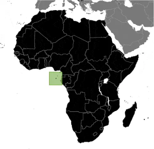
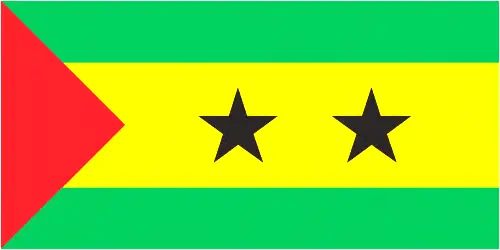
This image shows the draft map of Sao Tome and Principe, Africa. For more details of the map of Sao Tome and Principe, please see this page below. This image shows the location of Sao Tome and Principe, Africa. For more geographical details of Sao Tome and Principe, please see this page below. This image shows the flag of Sao Tome and Principe, Africa. For more details of the flag of Sao Tome and Principe, please see this page below.
Borderline map of Sao Tome and Principe Location map of Sao Tome and Principe Flag of São Tomé and Principe

São Tomé and Principe Google Maps

Google Maps and Detailed Facts of Sao Tome and Principe (ST). This page lets you explore Sao Tome and Principe and its border countries (Country Location: Central Africa, islands in the Gulf of Guinea, just north of the Equator, west of Gabon) through detailed Satellite imagery – fast and easy as never before Google Maps.

Find comprehensive information about this country’s diversity below: Google Maps, geography, economy, science, people, culture, environment, government, and history – All in One Wiki page.

There is also a Street View and free Driving Directions at your service. Your Google Satellite Map Sightseeing in Sao Tome and Principe starts here at Driving Directions and Maps.com in Africa.

Read more